|
-
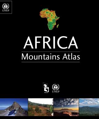
Africa faces growing challenges in ensuring the sustainable development of her mountain areas, such as poverty and climate change
and addressing the feat of transboundary co-operation. Through use and integration of local and
indigenous knowledge, supporting green investments and addressing the multidimensional nature of
poverty and food security, these challenges can be surmounted.
2015
-
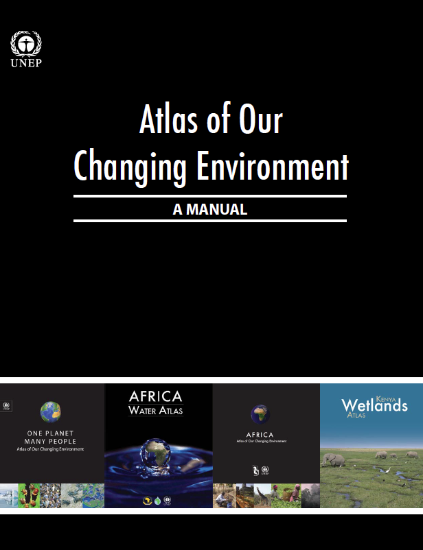
This publication provides a step-by step guide for analysing and packaging time-series satellite imagery for communicating visual environmental changes on the ground to a wide variety of audiences.
The manual is based on lessons learned by UNEP in developing the Atlas of Our Changing Environment publication series.
2014
-
This Arab Region Atlas of Our Changing Environment uses evocative imagery and informative descriptions to
tell a story of prominent environmental change across 22 Arab countries over the last 50 years.
While this atlas documents the commonalities shared by these nations, it also
highlights the unique challenges each country faces in the 21st century.
2013
-
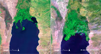
Complete with up-to-date maps, recent and historical satellite images, ground photographs, data tables, graphs and compelling storylines,
the Kenya Wetlands Atlas provides a vivid depiction of the state of Kenya's wetlands.
UNEP Press Release
2013
-
The Atlas of Rwanda's Changing Environment is a visual account of Rwanda's state of natural
resources revealed through maps, current and historical satellite images, aerial and ground photographs as well as
narrative based on extensive scientific evidence.
2012
-
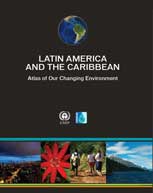
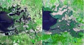
The Latin America and the Caribbean Atlas of our Changing Environment shows environmental changes based on remotely sensed
images acquired by different satellites over many years, or a few days in some cases, and through images, maps, tables, graphs and text,
it presents a picture of where Latin America and the Caribbean has been, and where it is now.
2010
-
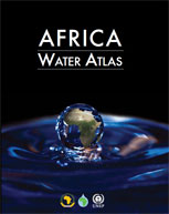
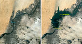
This Atlas is a visual account of Africa's endowment and use of water resources, revealed through 224
maps and 104 satellite images. It gathers information about water in Africa and its
role in the economy, development, health, food security, transboundary cooperation, capacity building and environmental change into one comprehensive volume.
2010
-
The Uganda Atlas of Our Changing Environment,
prepared by the National Environmental Management Authority of Uganda,
provides extensive scientific evidence of Uganda's changing environment.
Modelled after Africa: Atlas of our Changing Environment the Uganda Atlas seeks to safeguard the country's environment and inspire decision makers to action.
2009
-
Through the use of satellite data, photographs, graphics and site-specific case studies,
this atlas highlights environmental change in Kenya. It looks at the country's mountains,
forests, water bodies and national parks, chronicling the evolution of the country's environment
over the last few decades and the ecological challenges and opportunities facing the country.
2009
-
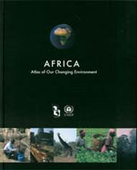
Increasing concern on how human activities impact Africa's environment
has led to documentation and quantification of the changes. Through ground
photographs, current and historical satellite images, and narrative based
on scientific evidence, this atlas illustrates how humans have altered their
surroundings and continue to make changes to Africa and its environment.
2008
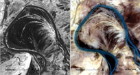
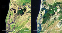
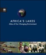
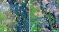
-
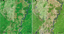
The dramatic and, in some cases, damaging environmental changes
sweeping Africa's lakes are brought into sharp focus by this atlas.
It compares and contrasts environmental change in and around the lakes
by using spectacular satellite images of the past few decades compared with contemporary ones.
2006
-
One Planet, Many People is intended for environmental policy makers,
non-governmental organizations, the private sector, academics,
teachers and citizens. This colorful and approachable atlas contains
photographs, satellite images, maps and narratives that provide insights
into the many ways people around the world have changed the environment.
2005
|
|