UNEP/GRID-Sioux Falls

GRID Sioux Falls: About UsReportsMultimediaDataUNEPLive

Welcome to GRID Sioux Falls

The North American node of UNEP's Global Resource Information Database (GRID), designated as GRID-Sioux Falls, is located at the Earth Resources Observation and Science (EROS) Center of the United States Geological Survey in Sioux Falls, South Dakota, USA. GRID-Sioux Falls has been operational since 1991 and functions as a partnership between the United Nations Environment Programme (UNEP) and the U.S. Geological Survey (USGS).

What's New

Energy Atlas

Atlas of Africa Energy Resources

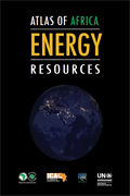
Atlas of Africa Energy Resources presents information about Africa’s energy potential and the pace of change in energy production and consumption.

Publication

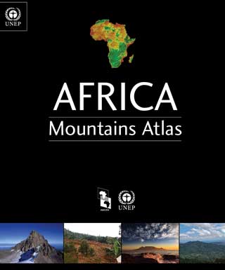
  • Africa Mountains Atlas

    Africa Mountains Atlas

    Africa faces growing challenges in ensuring the sustainable development of her mountain areas, such as poverty and climate change and addressing the feat of transboundary co-operation. Through use and integration of local and indigenous knowledge, supporting green investments and addressing the multidimensional nature of poverty and food security, these challenges can be surmounted.

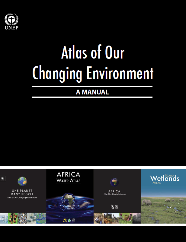
  • Atlas of Our Changing Environment: A Manual

    Atlas of Our Changing Environment: A Manual

    This publication provides a step-by step guide for analysing and packaging time-series satellite imagery for communicating visual environmental changes on the ground to a wide variety of audiences.

  • GEAS Emerging Issues 2013

    Emerging Environmental Issues 2013

    This 2013 Emerging Environmental Issues publication presents the 12 monthly GEAS bulletins in a single document, allowing readers to note and assess significant environmentalevents that took place that year.

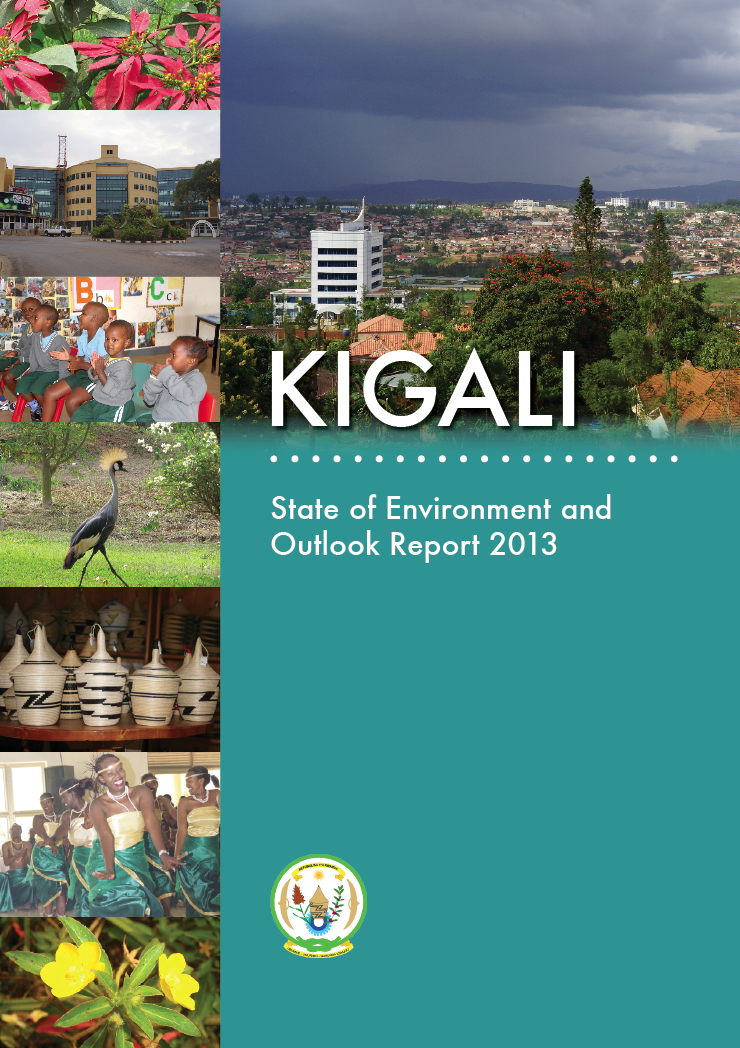
  • Kigali SOE

    Kigali: State of Environment and Outlook Report 2013

    Kigali is home to 10.8 percent of Rwanda’s total population (one million people) and is one of Africa's fastest- growing cities. With this success comes challenges that include inadequate water and energy infrastructures, liquid and solid waste management, air and water pollution as well as unsustainable production and consumption lifestyles.

  • Arab Atlas

    Arab Region Atlas of Our Changing Environment

    This Arab Region Atlas of Our Changing Environment uses evocative imagery and informative descriptions to tell a story of prominent environmental change across 22 Arab countries over the last 50 years. While this atlas documents the commonalities shared by these nations, it also highlights the unique challenges each country faces in the 21st century.

  • Kenya Wetlands

    Kenya Wetlands Atlas

    Complete with up-to-date maps, recent and historical satellite images, ground photographs, data tables, graphs and compelling storylines, the Kenya Wetlands Atlas provides a vivid depiction of the state of Kenya's wetlands.

  • Lake Turkana

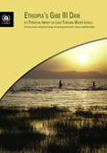
    Ethiopia's Gibe III Dam: its potential impact on Lake Turkana water levels

    This assessment study uses multiple sources of data to study the potential hydrological impact of the Gibe III dam in Ethiopia on Lake Turkana water levels.

E-books

Africa Mountains Atlas

Africa Moutains Atlas

E-book: Africa faces growing challenges in ensuring the sustainable development of her mountain areas, such as poverty and climate change and addressing the feat of transboundary co-operation.

Kenya Wetlands

Kenya Wetlands Atlas

E-book: Complete with up-to-date maps, recent and historical satellite images, ground photographs, data tables, graphs and compelling storylines, the Kenya Wetlands Atlas provides a vivid depiction of the state of Kenya's wetlands.

GEAS Emerging Issues 2013

Emerging Environmental Issues 2013

E-book:This 2013 Emerging Environmental Issues publication presents the 12 monthly GEAS bulletins in a single document, allowing readers to note and assess significant environmentalevents that took place that year.

GEAS Emerging Issues 2013

Atlas of Our Changing Environment: A Manual

E-book:This publication provides a step-by step guide for analysing and packaging time-series satellite imagery for communicating visual environmental changes on the ground to a wide variety of audiences.

Featured Environmental Hotspot

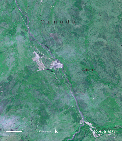
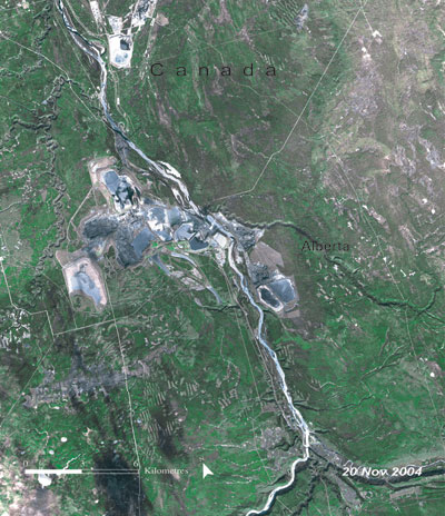
Aral Sea

before
after

More Environmental Hotspots

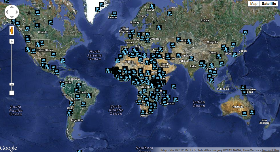
View more hotspots on the interactive map and keep up to date with environmental changes around the globe.

Updated and New Hotspots