UNEP/GRID-Sioux Falls: About UsReportsMultimediaData

Featured Publications

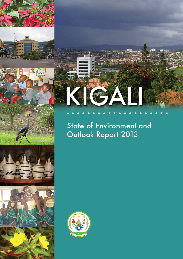
Kigali: State of Environment and Outlook Report 2013

Kigali is home to 10.8 percent of Rwanda's total population (one million people) and is one of Africa's fastest- growing cities. With this success comes challenges that include inadequate water and energy infrastructures, liquid and solid waste management, air and water pollution as well as unsustainable production and consumption lifestyles.

pdf document   To open this publication, click here...

Kigali SOE

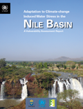
Adaptation to Climate-change Induced Water Stress in the Nile Basin - A Vulnerability Assessment Report

This publication presents a quick and clear overview of the people and places vulnerable to water stress related to the impacts of climate change in the Nile Basin. The report's insights and information should enable countries and relevant stakeholders involved in managing the Nile River Basin to make evidence-based policy choices and decisions that ensure the sustainability of the Nile and its resources.

pdf document   To open this publication, click here...

Nile Basin Cover

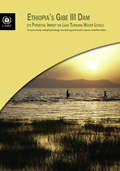
Ethiopia's Gibe III Dam: its potential impact on Lake Turkana water levels

This assessment study uses multiple sources of data to study the potential hydrological impact of the Gibe III dam in Ethiopia on Lake Turkana water levels.

pdf document   To open this publication, click here...

Lake Turkana Cover

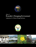
Atlas of Rwanda's Changing Environment — Implications for Climate Change Resilience

The Atlas of Rwanda's Changing Environment is a visual account of Rwanda’s state of natural resources revealed through maps, current and historical satellite images, aerial and ground photographs as well as narrative based on extensive scientic evidence. The Atlas serves as a reflection on the progress made towards mitigating environmental degradation and climate change that were recognized as some of the main barriers to realizing medium term Millennium Development Goals and the development aspirations of the Rwanda Vision 2020.

pdf document   To open this publication, click here...

REMA Cover

Early Warning Systems—A State of the Art Analysis and Future Directions

At a time of global changes, the world is striving to face and adapt to alteration. A global multi-hazard early warning system is needed to inform us of pending threats. This report presents an assessment of existing monitoring/early warning systems (EWS) and identifies current gaps and needs for developing a global multi-hazard early warning system.

pdf document   To open this publication, click here...

EWS Cover

Kenya State of the Environment and Outlook 2010

At a time of global changes, the world is striving to face and adapt to alteration. A global multi-hazard early warning system is needed to inform us of pending threats. This report presents an assessment of existing monitoring/early warning systems (EWS) and identifies current gaps and needs for developing a global multi-hazard early warning system.

pdf document   To open this publication, click here...

Additional Download:
Summary for Decision Makers

Kenya SOE Cover

Keeping Track of Our Changing Environment

This innovative publication, which is based on statistical evidence, illustrates major global environmental, economic and social changes since 1992. The numbers tell the story of how, in twenty years, the world has changed more than most of us could have ever imagined. The report has been produced within the framework of UNEP's fifth Global Environment Outlook assessment report, which will be published in May 2012 in advance of Rio+20.

pdf document   To open this publication, click here...

Download:
Printer Version (70.8 MB)
Press Release (Offsite)

Keeping Track Cover

GEO 4

The fourth GEO assessment is a comprehensive and authoritative UN report on environment, development and human well-being for decision making.

html document To open this publication, click here... (offsite)

GEO4

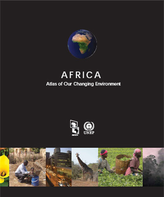
Africa: Atlas of Our Changing Environment

This atlas is a unique and powerful publication which brings to light stories of environmental change at more than 100 locations spread across every country in Africa. Using current and historical satellite images, the Atlas provides scientific evidence of the impact that natural and human activities have had on the continent's environment over the past several decades.

html document To open this publication, click here...

Africa

Africa Lakes: Atlas of Our Changing Environment

Through a combination of ground photographs, current and historical satellite images, and narrative based on extensive scientific evidence, this publication illustrates how humans have altered their surroundings and continue to make observable and measurable changes to the Africa's lakes and its environment.

html document To open this publication, click here...

Africa Lakes

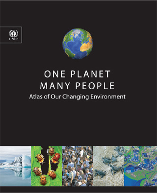
One Planet Many People: Atlas of Our Changing Environment

Increasing concern as to how human activities impact the Earth has led to documentation and quantification of environmental changes taking place on land, in the water, and in the air. Through a combination of ground photographs, current and historical satellite images, and narrative based on extensive scientific evidence, this publication illustrates how humans have altered their surroundings and continue to make observable and measurable changes to the global environment.

html document To open this publication, click here...


One Planet Many People

Recent Trends in Melting Glaciers,Tropospheric Temperatures over the Himalayas and Summer Monsoon Rainfall over India

There are growing concerns about the impact melting glaciers in the Himalayas will have on about 1.5 billion people of vulnerable densely populated communities in downstream river basins. Yet there is huge uncertainty about how snow and glacial melting in the Himalayan region will continue to respond to climate change, and how such change will aff ect ecosystems and human well-being.

pdf document To open this publication, click here...


Himalayas

Environmental Indicators for North America

North America's environment—air currents, watersheds, and wildlife and their habitat—is not dissected by political borders. But Canada and the United States often measure environmental conditions and report on them using different indicators. This report examines the environmental indicators used by both nations, suggests a way develop a set of North American indicators, and using a number of common indictors, provides a snapshot of the level of progress being made in protecting the environmental assets and services that underpin North America's economy.

pdf Please select your choice below.

    Download:

Entire Document (PDF 9.1mb)

Introduction and Chapter 1 (PDF 2.7mb)
Chapter 2 (PDF 1.6mb)
Chapter 3 (PDF 764kb)
Chapter 4 (PDF 1.2mb)
Chapter 5 (PDF 2.9mb)
Acryonyms and Appendixes (PDF 584kb)


Environmental Indicators for North America

Analyzing Environmental Trends using Satellite Data: Selected Cases

An analysis of recent and historical satellite imagery collected over the past forty years was carried out for Lake Chad in West Africa, the Sundarbans along the India-Bangladesh border, Papua in Indonesia, the Paranaense Forest around Itaipú Dam, and the Harran Plain in southeastern Turkey to provide scientific evidence of environmental change taking place in these ecologically significant regions of the world. (PDF 5.4mb)

pdf To open this publication, click here...


Anaylyzing Environmental Trends

Making Science for Sustainable Development More Policy Relevant: New Tools for Analysis

To date there has been no comprehensive evaluation of the major scientific assesments of the past two decades that address questions like, what topics have been covered? Are there important topic gaps? What are the successes and failures? This report proposes that the relevant international scientific organizations, in co-operation with intergovernmental organizations jointly undertake such a comprehensive evalutation. (PDF 740kb)
Report created by International Council for Science.

pdf To open this publication, click here...


New Tools for Analysis graphic

Elephants in India

The report, Restoration of Corridors to Facilitate the Movement of Wild Asian Elephants in Rajaji-Corbett Elephant Range, INDIA, is about structure modifications and alternatives to facilitate the movement of elephants.

pdf To open this publication, click here...

North America's Environment: A Thirty–Year State of the Environment and Policy Retrospective

Focusing on UNEP's North American region, comprised of Canada and the United States, this report provides an integrated analysis of the state of resource assests and 30–year trends in nine major themes: atmosphere, biodiversity, coastal and marine areas, disasters, freshwater, forests, human health and the environment, land, and urban areas.(HTML)

www To open this publication, click here...


North America Report Graphic

GEO3 Report

A global environmental assessment process, the GEO Process, that is cross-sectoral and participatory. It incorporates regional views and perceptions, and builds consensus on priority issues and actions through dialogue among policy-makers and scientists at regional and global levels. (Offsite HTML)

www To open this publication, click here... (offsite)


GEO2000 Graphic

Satellite Images for Land Cover Monitoring Navigating Through the Maze

The focus of this paper is satellite systems for land cover monitoring including a table that compares a selection of these systems, whose data are globally available in a form suitable for land cover analysis. (PDF 480kb)

pdf To open this publication, click here...


Remote Sensing Graphic

An Assessment of the Status of the World's Remaining Closed Forests

Short of a miraculous transformation in the attitude of people and governments, the Earth's remaining closed-canopy forests and associated biodiversity are destined to disappear in the coming decades. Knowing it is unlikely that all forests can be protected, it would be better to focus conservation priorities on those target areas that have the best prospects for continued existence. Hence it is critical to assess the extent and distribution of such areas using the latest scientific information. (PDF 768kb)

www The World's Forests Poster (JPG 108kb).

PDF Document To open this publication, click here...


Closed Forest Graphic

For previous reports, please check the archive.

1993 - 2003 Publications and Articles Archive