Environmental Aspects of the African Great Lakes Region
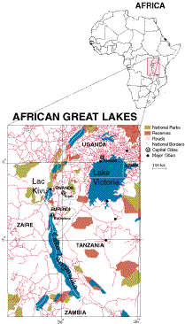
The African Great Lakes region is composed of a variety of ecosystems with
significant biodiversity. Click on the map to take a closer look at the
area.
|
The region's relief is moderate and influenced by tectonic and volcanic activity.
The highlands are relatively cool with abundant rainfall. Major drainage basins
include those of the Congo-Zaire, Nile and Zambezi rivers which drain into the
Atlantic Ocean, Mediterranean Sea and Indian Ocean, respectively. Forests are also
dominant in the lowlands of the Congo-Zaire Basin, while grasslands and savannahs are
most common in the southern and eastern highlands.
The climate and rich volcanic soils in the highlands sustain intensely cultivated
croplands, encouraging the growth of human population. This increased population
is competing for habitat used by many endangered species, including the mountain
gorilla and the forest elephant. Governments in the region are attempting to lessen
the impact through integrated conservation and development projects.
Land Cover Characterization
Landsat Images of Lac Kivu
Drainage Basins
Elevation
Human Population Growth
Monthly Changes in Vegetation
Related Internet Sites

|


